
Methane plume detected in United States
On 27 Jul 2024, the Sentinel-5P/TROPOMI - ESA satellite saw methane escaping at about 120,030 kg/h from a coal mine.
Evidence packet
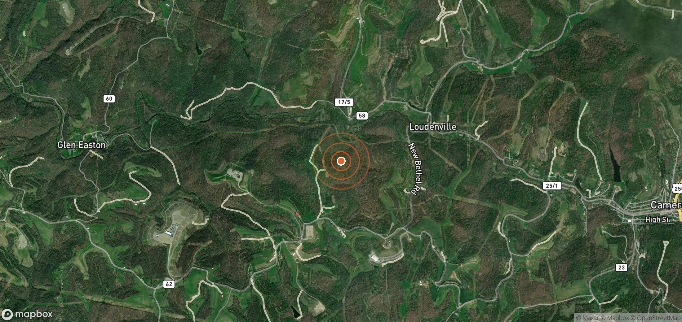
If it continued at this rate for 24 hours it would release about 2,881 tonnes of methane.
- Detected
- 27 Jul 2024 · 00:00 UTC
- Satellite
- Sentinel-5P/TROPOMI - ESA
- Sector
- Coal
- Coordinates
- 39.8317, -80.6122
Open in Google Maps (satellite) - UNEP plume ID
0041eeb2-4481-4f99-8153-056b1bea362b
Likely operator
AMERICAN CONSOLIDATED NATURAL RESOURCES INC Plausible
Marshall County Mine (coal mine) operated by AMERICAN CONSOLIDATED NATURAL RESOURCES INC, 1.10 km from plume
Status
UNEP has not recorded a notification for this plume.
Nobody has reported contacting the operator through Methane Leaks yet.
Push for action
Find the operator's contact details and send a ready-made, evidence-based email in about two minutes.
Write to the operator →Get alerts for United States
We'll email you when UNEP publishes new plumes here. No account needed. Unsubscribe in one click.
We only use your email to send these alerts.
Cite as: UNEP IMEO MARS plume 0041eeb2-4481-4f99-8153-056b1bea362b, via Methane Leaks (https://www.methaneleaks.com/plume/0041eeb2-4481-4f99-8153-056b1bea362b), accessed 4 Oct 2026.