
Methane plume detected in United States
On 23 Jul 2026, the EnMAP - DLR satellite saw methane escaping at about 1,082 kg/h from an oil & gas site.
Evidence packet
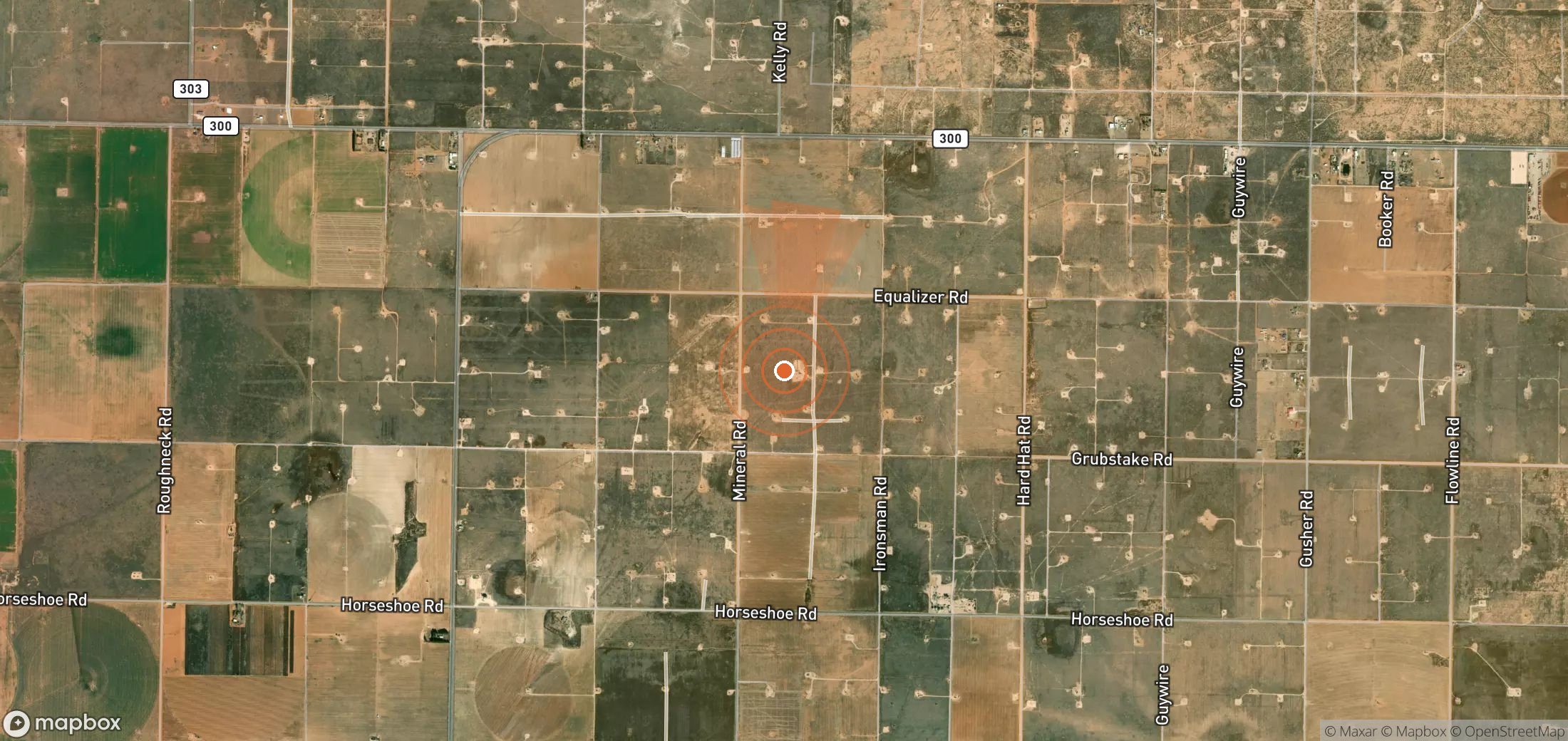
If it continued at this rate for 24 hours it would release about 26.0 tonnes of methane.
- Detected
- 23 Jul 2026 · 18:12 UTC
- Satellite
- EnMAP - DLR
- Sector
- Oil & gas
- Wind
- Plume drifting towards the N · 3.9 m/s
- Coordinates
- 33.55487, -102.46761
Open in Google Maps (satellite) - UNEP plume ID
76555bb6-6197-423c-a58c-821c6d192916
Likely operator
We don't have enough evidence to name an operator for this site yet. If you know who runs it, tell us below.
Emitting site
USA_S_1223 · Well head
1 plumes detected at this site
Status
UNEP notified the government about this plume.
Nobody has reported contacting the operator through Methane Leaks yet.
Push for action
Find the operator's contact details and send a ready-made, evidence-based email in about two minutes.
Write to the operator →Authorities you can notify
- U.S. EPA — report an environmental violation — Federal tip line; covers landfills, oil & gas and coal mines.
- Texas Commission on Environmental Quality
- Railroad Commission of Texas
Is this attribution wrong?
If you operate this site, or know who does, tell us. Operators get a right of reply, and corrections are reviewed within a week.
Get alerts for USA_S_1223
We'll email you when UNEP publishes new plumes here. No account needed. Unsubscribe in one click.
We only use your email to send these alerts.
Cite as: UNEP IMEO MARS plume 76555bb6-6197-423c-a58c-821c6d192916, via Methane Leaks (https://www.methaneleaks.com/plume/76555bb6-6197-423c-a58c-821c6d192916), accessed 4 Oct 2026.