
Methane emitter USA_S_1239
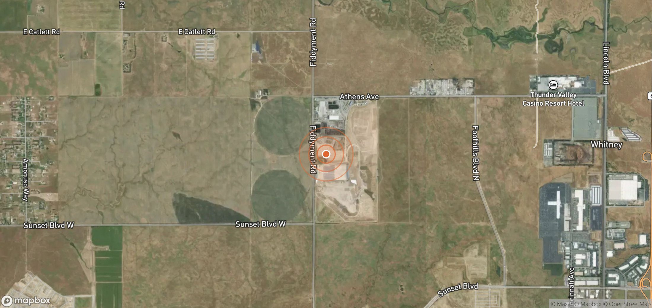
Landfill in United States. Satellites have detected 3 methane plumes here since 30 Jul 2024, most recently on 2 Aug 2026.
3
Plumes
1
Plumes, last 12 months
1,500 kg/h
Largest detected rate
1,176 kg/h
Typical (median) rate
Embed this map
Paste this into your article or website. It stays up to date automatically.
Who likely operates it
We don't have enough evidence to name an operator for this site yet. If you know who runs it, tell us below.
Response so far
- Source type
- Landfill
- UNEP notified
- Not applicable
- Operator responded to UNEP
- Not applicable
- First seen
- 30 Jul 2024
- Last seen
- 2 Aug 2026
- Coordinates
- 38.83243, -121.34751 · Open in Google Maps (satellite)
Plume history
Authorities you can notify
- U.S. EPA — report an environmental violation — Federal tip line; covers landfills, oil & gas and coal mines.
- California Air Resources Board
Is this attribution wrong?
If you operate this site, or know who does, tell us. Operators get a right of reply, and corrections are reviewed within a week.
Get alerts for USA_S_1239
We'll email you when UNEP publishes new plumes here. No account needed. Unsubscribe in one click.
We only use your email to send these alerts.