
Methane emitter USA_S_480
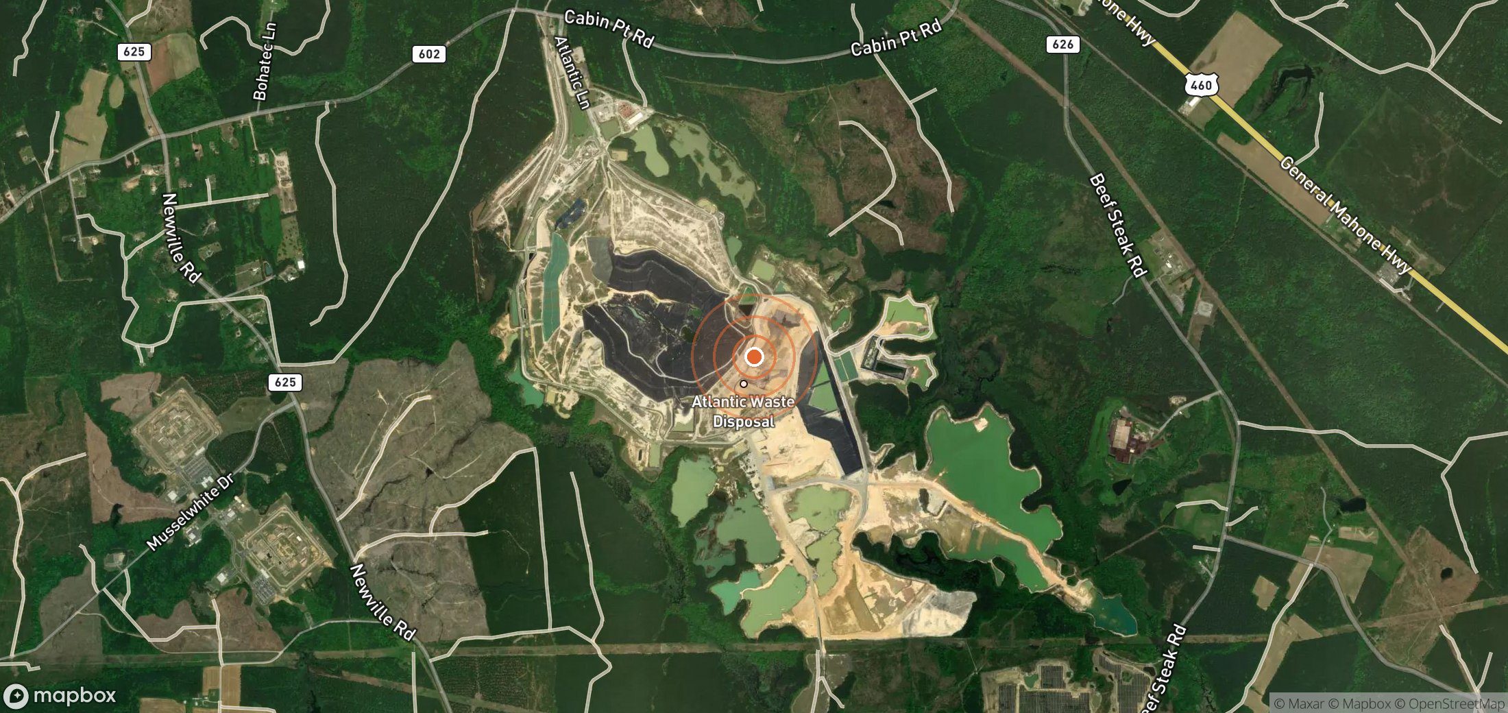
Landfill in United States. Satellites have detected 4 methane plumes here since 25 Feb 2024, most recently on 22 Jun 2025.
4
Plumes
3
Plumes, last 12 months
5,167 kg/h
Largest detected rate
3,998 kg/h
Typical (median) rate
Embed this map
Paste this into your article or website. It stays up to date automatically.
Who likely operates it
WM Strong evidence
ATLANTIC WASTE DISPOSAL INC - SUSSEX COUNTY LAND (landfill)
Evidence
- ATLANTIC WASTE DISPOSAL INC - SUSSEX COUNTY LAND (landfill) operated by WASTE MANAGEMENT INC, 0.92 km from plume ↗
Response so far
- Source type
- Landfill
- UNEP notified
- Not applicable
- Operator responded to UNEP
- Not applicable
- First seen
- 25 Feb 2024
- Last seen
- 22 Jun 2025
- Coordinates
- 37.0559, -77.1693 · Open in Google Maps (satellite)
Plume history
Authorities you can notify
- U.S. EPA — report an environmental violation — Federal tip line; covers landfills, oil & gas and coal mines.
- Virginia Department of Environmental Quality
Is this attribution wrong?
If you operate this site, or know who does, tell us. Operators get a right of reply, and corrections are reviewed within a week.
Get alerts for USA_S_480
We'll email you when UNEP publishes new plumes here. No account needed. Unsubscribe in one click.
We only use your email to send these alerts.