
Methane plume detected in Yemen
On 10 Aug 2026, the Landsat - NASA/USGS satellite saw methane escaping at about 1,628 kg/h from an oil & gas site.
Evidence packet
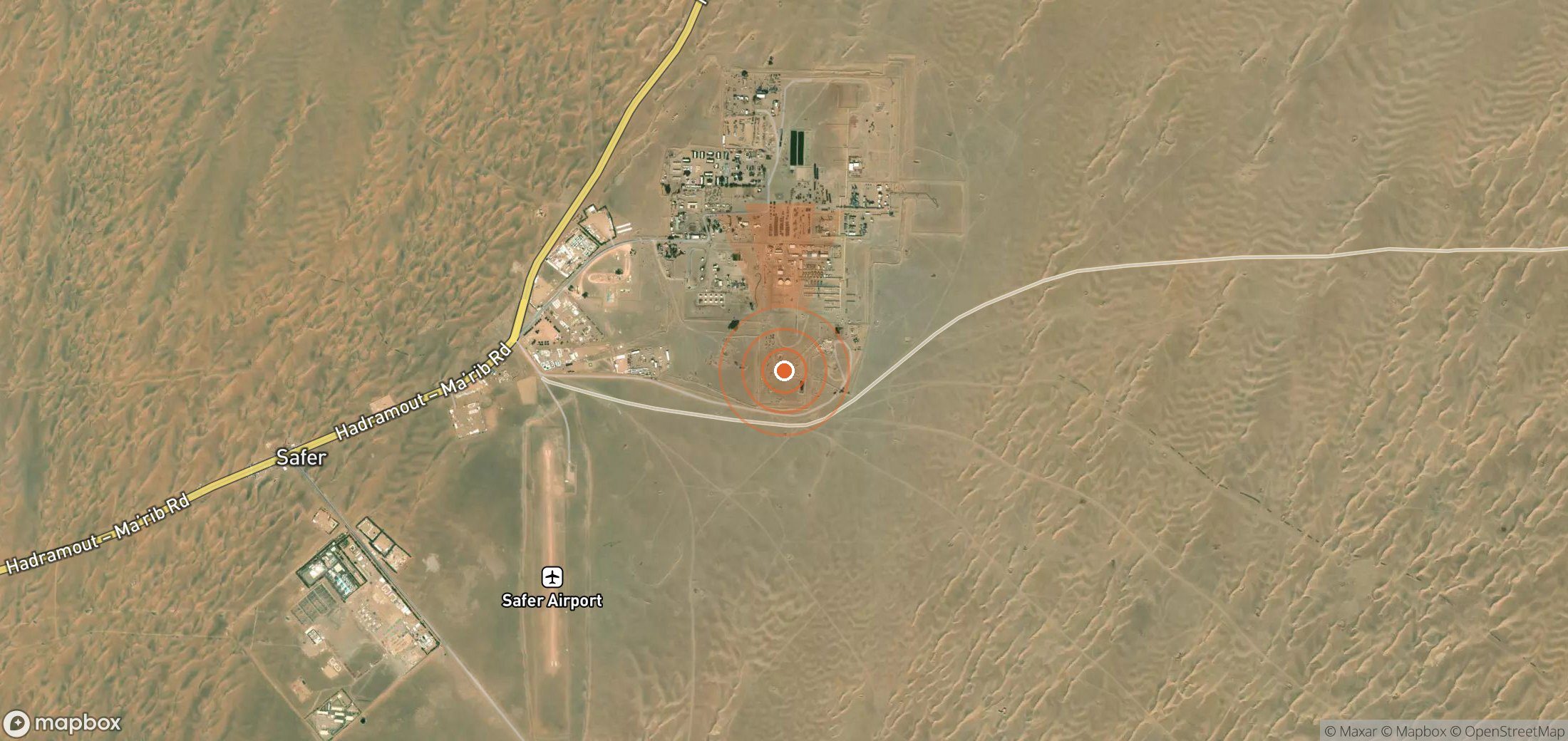
If it continued at this rate for 24 hours it would release about 39.1 tonnes of methane.
- Detected
- 10 Aug 2026 · 07:19 UTC
- Satellite
- Landsat - NASA/USGS
- Sector
- Oil & gas
- Wind
- Plume drifting towards the N · 0.9 m/s
- Coordinates
- 15.56386, 45.79854
Open in Google Maps (satellite) - UNEP plume ID
21deda8e-7d9c-4d12-8482-bdf32994f99f
Likely operator
Safer Exploration and Production Operations Company Plausible
State-run SEPOC operates Block 18 (Marib-Al Jawf) and its processing facilities.
Emitting site
YEM_S_001 · Flare
346 plumes detected at this site
Status
UNEP notified the government about this plume.
Nobody has reported contacting the operator through Methane Leaks yet.
Push for action
Find the operator's contact details and send a ready-made, evidence-based email in about two minutes.
Write to the operator →Is this attribution wrong?
If you operate this site, or know who does, tell us. Operators get a right of reply, and corrections are reviewed within a week.
Get alerts for YEM_S_001
We'll email you when UNEP publishes new plumes here. No account needed. Unsubscribe in one click.
We only use your email to send these alerts.
Cite as: UNEP IMEO MARS plume 21deda8e-7d9c-4d12-8482-bdf32994f99f, via Methane Leaks (https://www.methaneleaks.com/plume/21deda8e-7d9c-4d12-8482-bdf32994f99f), accessed 4 Oct 2026.